At the beginning of September 2020, I did a solo road-trip from Toulouse to Andorra. This small country is reeeeally close to Toulouse, about a 2-hours drive. I was supposed to go with friends, but in the end, none of them was available, so I said “fuck it” and drove there myself. In Andorra, I encountered some difficulties finding my way because it’s not part of the countries where my mobile data works and so I had no GPS… No matter, I stopped in a tourist office and bought some maps. One of them was the Tristaina lake trail.
First thing first: where do I park?
On the day before, I had struggled a bit finding the places where I wanted to go. I sincerely wonder how people didn’t spend their time getting lost before we had GPS. I mean, when I visit cities, I can use a paper map and I’m fine. But driving AND reading a map seems impossible!
You have to remember everything. It’s like, OK, so I said that at the 3rd road on the right, I turn and then I turn left. Except there is no left when you arrive there. I kept stopping on the side of the road to look at the map. I visited places I didn’t know were there, and I didn’t see some other places I planned to see simply because I couldn’t find them.
Andorra is a small country and if you want to go to the big cities, it’s fairly easy, you just follow the signs. However, if you are looking for a particular hiking trail, it might get tricky. I do think it’s easier if something is telling you the directions.
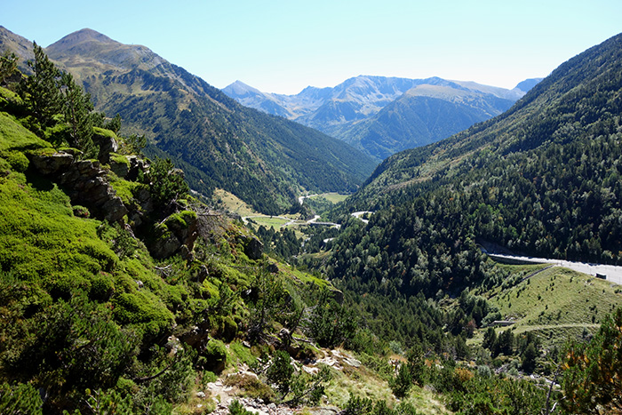
Anyway, the beginning of this hike was quite simple to find as it starts from a ski resort that is well indicated. There are a lot of parking spots, but also a lot of people. You might have to walk a little between the car and the trail.
Sweating My Way Up The Tristaina Lake Trail
You have two options to reach the lakes: take the cable car and then hike or hike all the way up there. Given the price of the cable car and the fact that I like to fully do things, I chose to hike all the way.
Oh Boy, Was I Glad To Have Hiking Poles!
I recommend having hiking poles to walk the Tristaina Lake trail. I usually don’t like them because they bother me more than help me, but there, they were totally useful. Some parts feel like climbing instead of hiking and there are a lot of stones. I’m not that old, but I like the idea of preserving my knees and making less effort. Plus, as they get deep in the soil, they help you to remain stable even if stones are moving.
Even though the hike is said to be “the perfect setting for a first mountain experience as a family”, I think it depends on what you’re used doing with your children. It can be quite tiring, especially this first part because it’s difficult to see if you are nearly there or if you still have to hike for another hour.
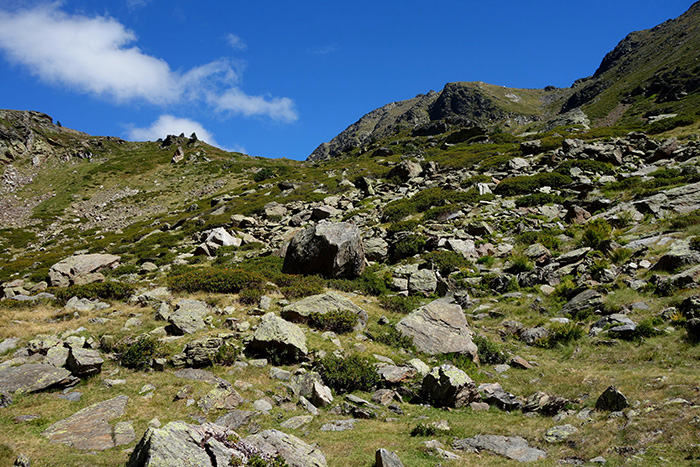
Finally Arriving At the Top!
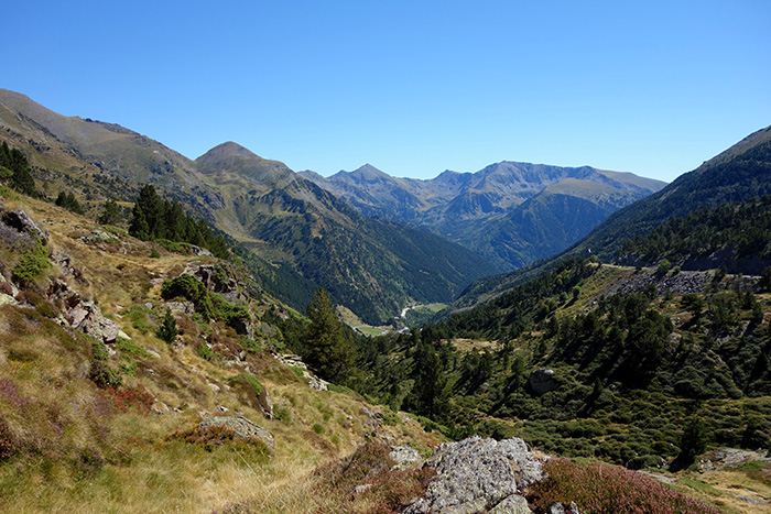
What a relief to see the first lake from the top of the mountain. The view of the valley is really nice. Do not hesitate to stop on the way, the scenery is beautiful from every angle.
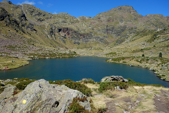
Once you’re there, you have to go down to reach the first lake of the Tristaina Lake trail: Estany Primer. There were a lot of people, getting fully in the water or just dipping their toes, happy dogs too and some fish. The weather was incredibly good and people were picnicking here and there.
I think September is a good time to do this hike. Given how many people there were, I’m guessing that there are a lot of tourists (maybe too many) during Summer.
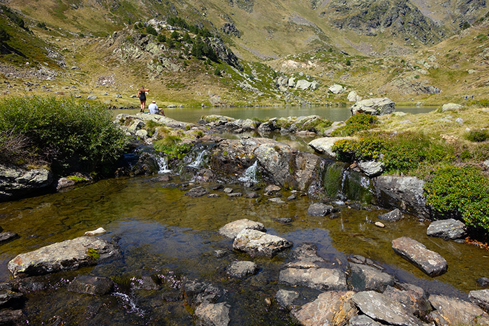
It Gets Easier From That First Lake
The Tristaina Lake trail is easier after that, the path is flatter. Plus, you can see the other lakes, so your brain can estimate how long it takes.
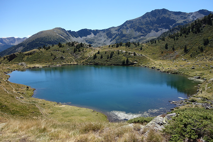
Estany del Mig
The second lake is close to Estany Primer and is called Estany del Mig. You can follow different paths, you don’t even have to go to the third lake, Estany de Més Amunt if you don’t feel like it. Some parts are easy to cross, and there are a few little bridges.
Some parts are tricky and, once again, I was happy that I had my hiking poles because there was a path covered with unstable flat stones and, without the poles, I don’t think I could have gone that way.
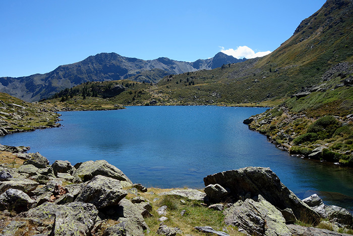
Estany de Més Amunt, The Third Lake On The Tristaina Lake Trail
It’s the furthest lake of the Tristaina Lake trail and not the most beautiful in my opinion. Maybe there was a cloud at this moment, but it seemed darker and less friendly (yes, I know, it’s a lake, not a dog). There were more stones and less plants around it.
Going Down The Tristaina Lake Trail
Mind The Stones!
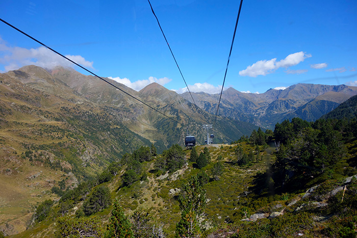
Going down the path, be careful because it’s not stable. I’ve seen people fall. Take your time and stop from time to time to look at the view. I didn’t go all the way down, I took the cable car for the last part because I was tired and because it offered some different views of the mountains.
A Well-Deserved Meal
Before hopping on the cable car, I had a late lunch at the restaurant. It’s not great cuisine, but I was quite happy to have something else than energy bars or almonds.
The hike on the Tristaina Lake trail is supposed to be 2-3 hours. I think it took me about 4 hours, including breaks to take photos, rest, snack next to the lake and eat at the restaurant.
If you still feel like walking after this hike, you can do like me and go to the Sorteny Nature park located nearby.
To see more photos of Andorra, you can visit the gallery Andorra.

