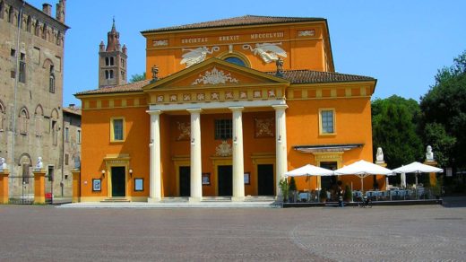
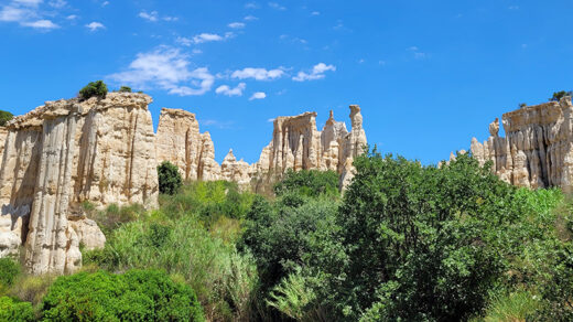
Last month, I chose to visit the Montpellier area during my holidays. Going abroad seemed to be complicated at the time I planned my holidays, so I opted for some place close to Toulouse, not to spend my time driving or in transports. As I was looking for places of interest in or near Montpellier, I saw a mention of the Salagou Lake. The high-contrast colours seemed surreal, and that’s exactly the kind of adventure I was looking for. And on August 17th, I drove from my airbnb in Aniane to the lake.
The Creation of the Salagou Lake
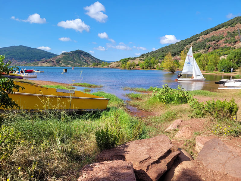
Sorry to disappoint, but the Salagou Lake is an artificial lake. Back in the fifties, there was a dam project. The authorities decided to irrigate the valley to allow a diversification of the local agriculture and to produce more fruits. Also, it would help reduce the number of floods. The project was finished in 1969. Today, the Salagou Lake has become a stunning site that attracts a lot of tourists and that is useful for hydroelectric production and for fighting against fires (among other things). It’s about 700 hectares.
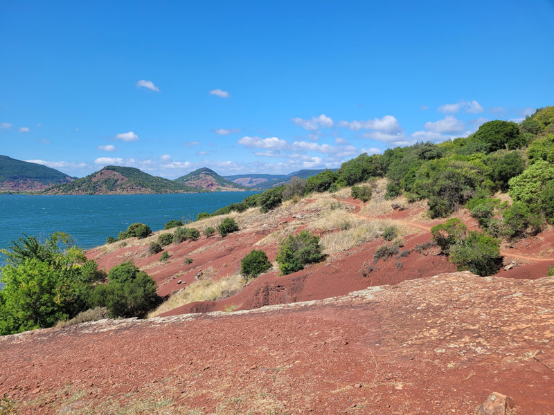
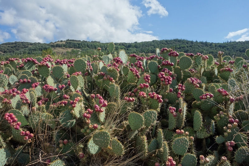
If the lake is quite young, the red soil, however, is ancient. The “ruffes”, these red rocks, are more than 250 million years old! The word “ruffe” comes from the Occitan rufa, which comes from the Latin rufus (red). These are quite peculiar and reminded me of Australia, especially when there were cacti nearby.
Hiking Around the Salagou Lake
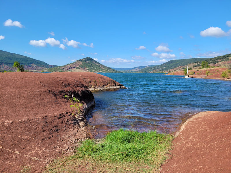
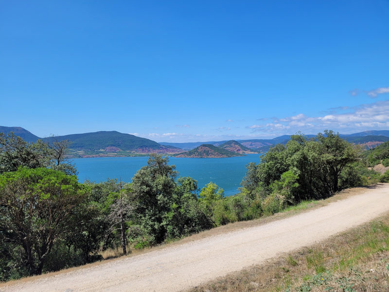
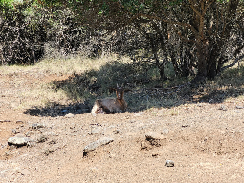
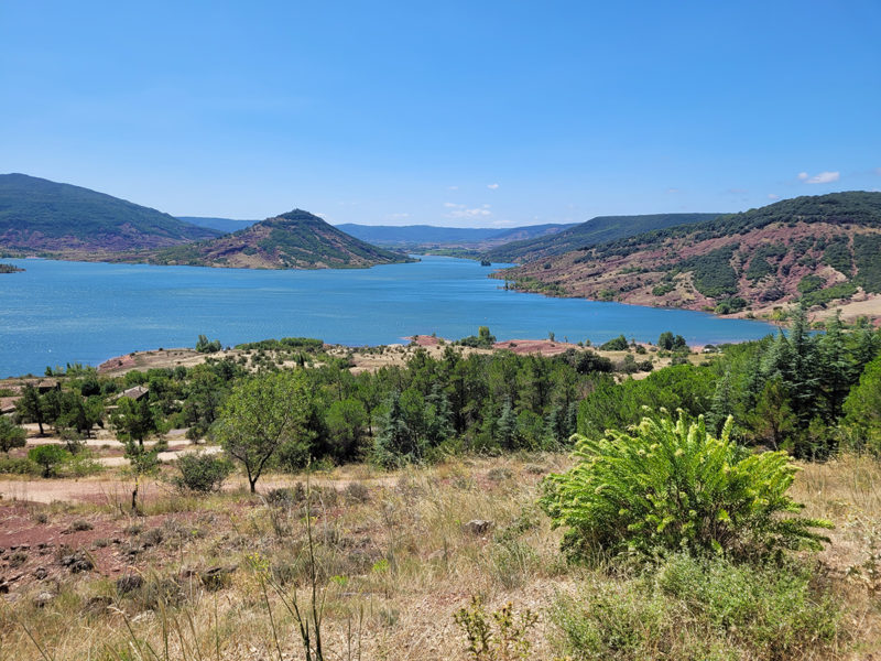
There are several hikes you can do around the Salagou Lake. You can go on foot, ride a bicycle or go on a boat. I chose to walk and to do the Vailhés loop. This is a great walk, because you can see all the variety of vegetation in one hike. It lasts about 3.30 hours. I stopped a lot to take pictures, and it took me about 3.45 hours. It’s not too difficult, and there are some spaces with shadows. However, prepare yourself, put on some suncream and wear a hat (well attached, because it’s quite windy).
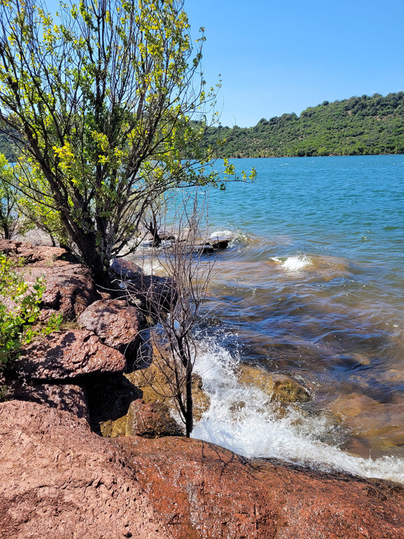
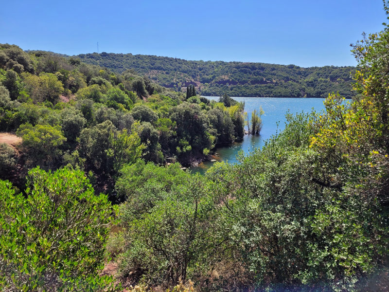
The hike starts walking along the lake on this red soil, sometimes crossing small forests. Then, you go up and the soil is less red. After that, you have the hard part where you nearly have to climb for 10 minutes to reach the very top. Once you are at the top, it gets easier and it’s a clear path through forests and pastures. You can stop from time to time to admire the views. Finally, you go down until you arrive to the parking lot at the nautical center.
The path is clearly indicated all the time with yellow lines on trees and rocks.
What can you do once your hike is finished?
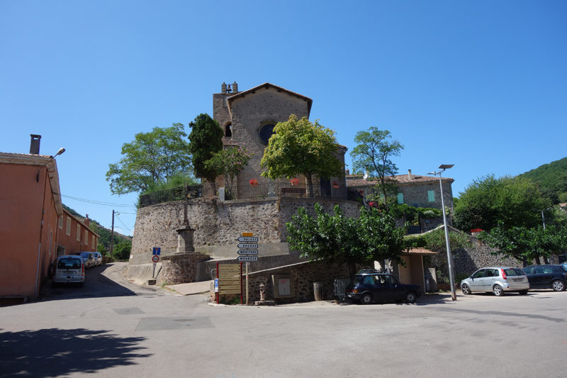
Unfortunately, as my trip was in August and most of the villages seemed dead, I can’t answer. I went to Octon. I had read that it is a nice village to visit, but when I went, nothing was open. I tried my luck in Salasc and Malavieille, but I didn’t see anything. Maybe, in another season, it is better.
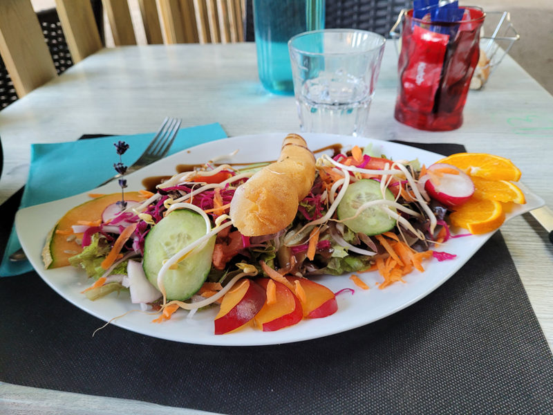
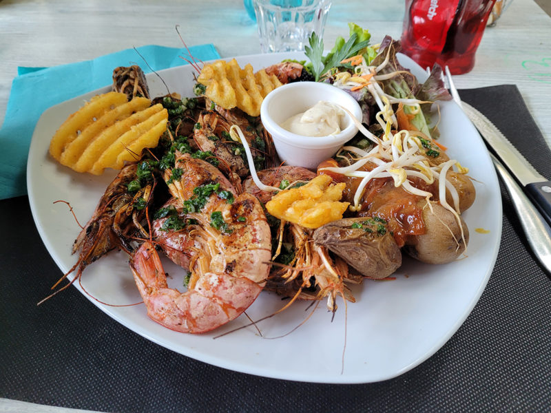
That said, I had a delicious dinner later that day in Aniane, at Le Pavillon. I do recommend their restaurant. It’s not cheap, but it is worth it.
To see more photos of France, you can visit the gallery France.

